
Image Analysis Lab
The Image Analysis Lab is a state-of-the-art research facility dedicated to analyzing and processing images from various sources, including satellite imagery, remote sensing, and geospatial data. By utilizing advanced computational tools such as machine learning algorithms, image processing techniques, and large language models (LLMs), the lab investigates critical environmental, industrial, and medical applications. Areas of focus include forest and crop monitoring, land use and land cover change detection, object detection, and large-scale environmental assessments. The lab combines theoretical modelling with practical data analysis to provide innovative solutions for sustainable development and environmental management. Through its interdisciplinary approach, the lab aims to contribute to addressing global challenges in resource management, urban planning, and environmental sustainability.
PI Profile

Dr. Muhammad Tariq Saeed is currently working as Associate Professor and HoD Sciences at SINES, NUST. As PI of the Image Analysis Lab, he has led numerous projects that combine advanced research methodologies with practical applications, focusing on advanced image processing, remote sensing, and machine learning techniques to address energy, environmental, and industrial challenges. His work emphasizes the analysis of satellite imagery, GIS-based frameworks, and predictive modeling for real-world applications. Dr. Tariq Saeed has earned several prestigious recognitions, including a fully funded Ph.D. scholarship at NUST in 2010, the Best Teacher Award (2018-19), and the Best Innovator Award (2022). He was also named Runners-up for Best Project Supervised at NUST in 2019 and 2020 among over 200 projects. Dr. Tariq Saeed served as the Associate Editor of the NUST Journal of Natural Sciences (NJNS) and is the Founder & CEO of DENSE FUSION (PVT) LTD, further demonstrating his leadership in both academia and industry. Under the supervision of Dr. Tariq Saeed, the research teams at the Image Analysis Lab comprise 8-10 MS research scholars and 5 research associates dedicated to advancing interdisciplinary methodologies and driving innovation in sustainable solutions through cutting-edge image analysis and modeling.
Dr. Muhammad Shahzad is an Assistant Professor of Computer Science at the National University of Sciences and Technology (NUST), School of Interdisciplinary Engineering and Sciences (SINES), Islamabad. He holds a PhD in Computer Science with specialization in Artificial Intelligence and Machine Learning, focusing on Medical Imaging. Dr. Shahzad brings over six years of experience as an AI-Based System Analyst in the Zakat & Ushr Department, KP, along with two years of research experience at Hazara University, Mansehra, where he published extensively in high-impact journals.
His expertise spans advanced deep-learning model design, explainable AI (XAI), biomedical image processing, and large-scale data analytics. He is also actively engaged in genomic and proteomic data analysis using XAI-driven methodologies. Dr. Shahzad has contributed significantly to multiple research initiatives, including an NRPU-funded project in collaboration with Shaukat Khanum Memorial Hospital. He is recognized for his commitment to innovation, education, and leveraging AI to advance healthcare technologies.
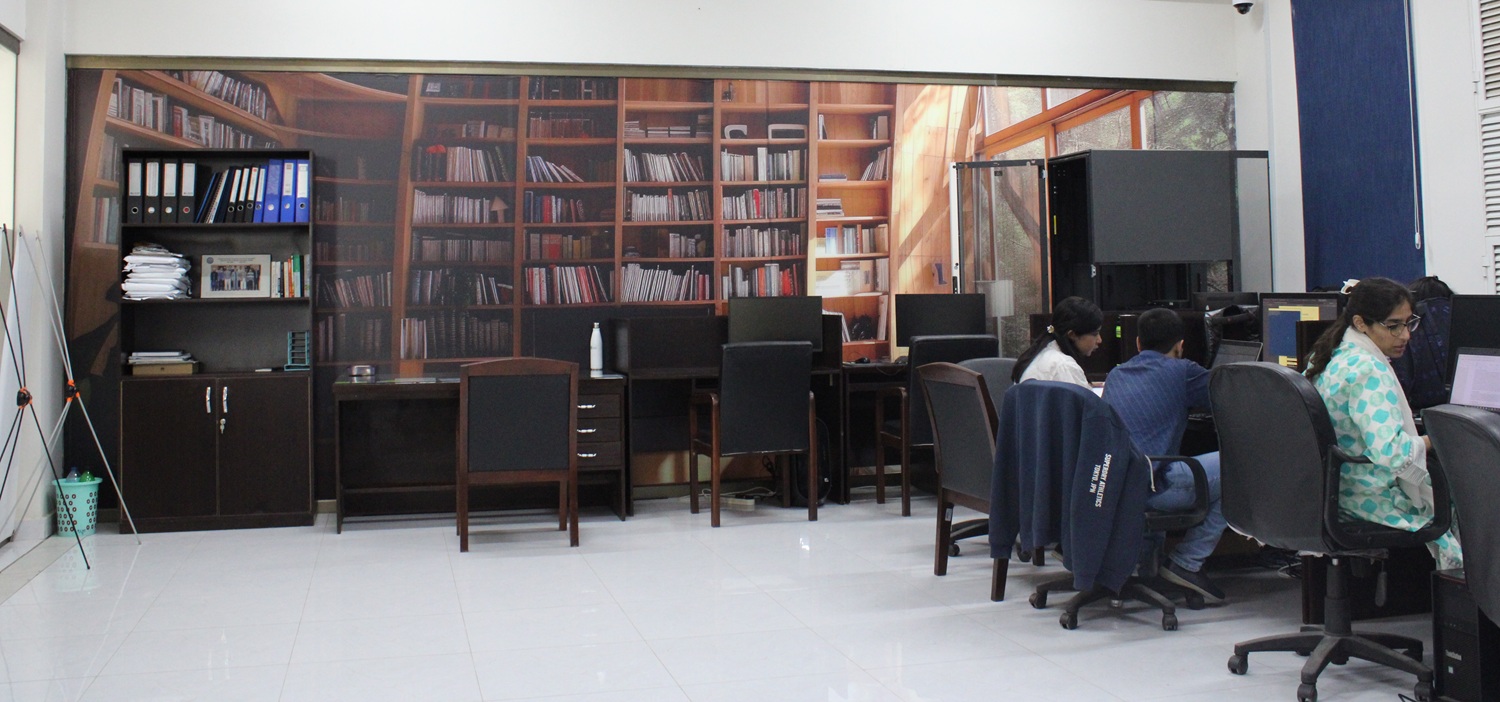
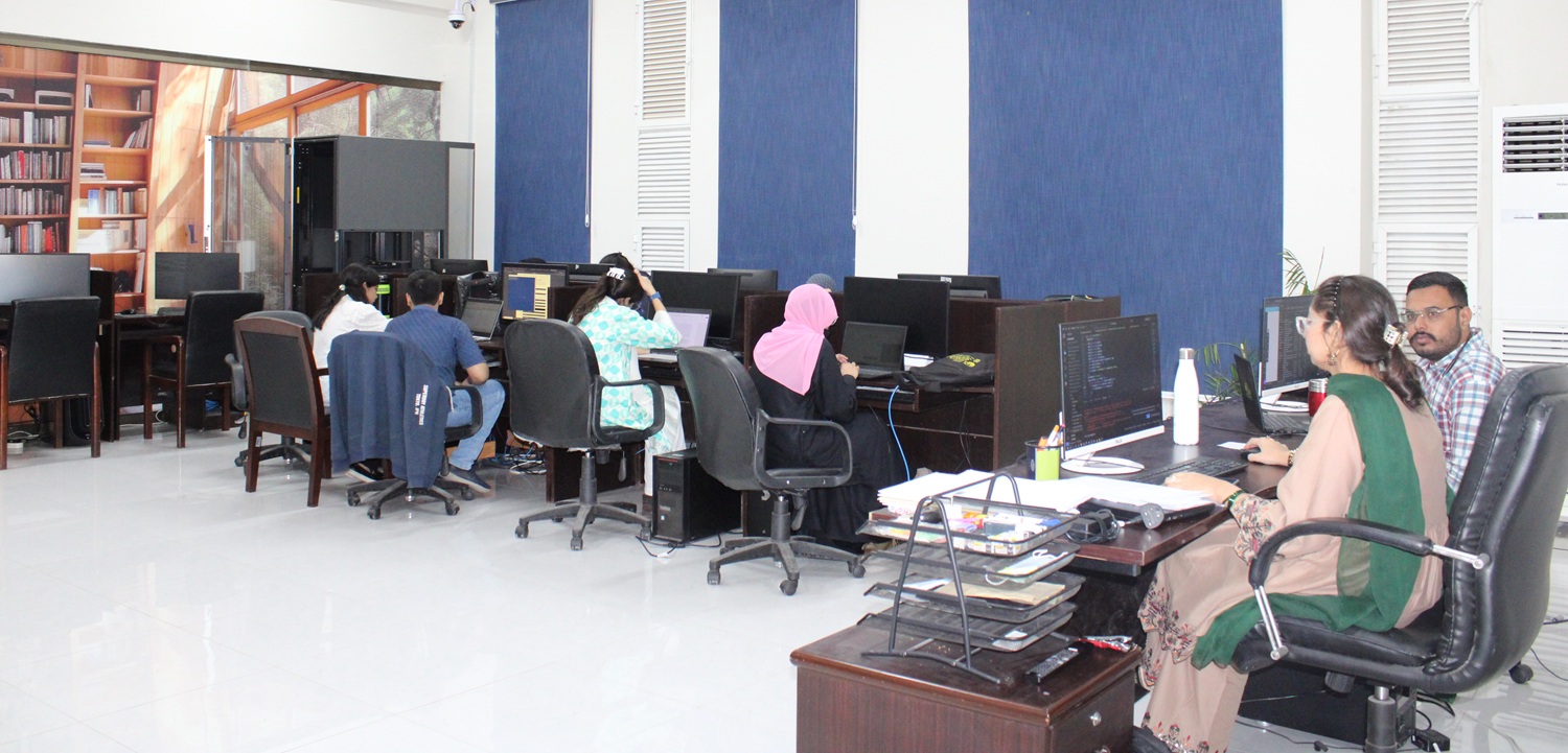
Human Resource
Typical Enrollment of lab researchers: 6-8 MS/PhD researchers
Lab Equipment /Resources:
- 8x high-performance CPU systems for efficient data processing and computational tasks
- 2x NVIDIA GeForce 2080 Ti GPUs for accelerated high-performance computing, enabling faster processing of large datasets and complex image analysis tasks
Expertise/Capabilities of lab:
The Image Analysis Lab’s capabilities enable it to tackle complex challenges in image processing, remote sensing, machine learning, and large language models, driving innovative solutions in energy, environmental, and industrial fields. These include:
- Analyzing satellite imagery and geospatial data for forest and crop monitoring, enabling precision agriculture and sustainable forestry management.
- Applying advanced machine learning algorithms for object detection and automated image analysis to identify key features and patterns in diverse environments.
- Conducting land use and land cover change detection to assess environmental impacts and inform urban planning and resource management.
- Utilizing remote sensing data for underground water level identification to support water resource management and environmental monitoring.
- Utilizing advanced image processing techniques for medical, industrial, and environmental applications.
- Leveraging large language models (LLMs) for automating data analysis, natural language processing, and extracting insights from unstructured data sources.
- Collaborating with academic and industrial partners to translate theoretical models into practical, real-world applications.
Projects:
- Development of Tracking portal for Restoration of Habitats (2022) -Funded by Serena Hotels, World Wild Fund (WWF), Agha Khan Rural Support Programme
- Development of Human-Swarm Interface (HSI) (2021)
- -Funded by Pakistan Air Force (PAF)
- An Artificial Intelligence Framework for Data Driven Analysis of Microbial Pangenomes- Funded by HEC, NRPU
- Detection of Man-Made Structures (2018) -Funded by Pakistan Air Force (PAF)
- Development of GUI Integrated with Server based backend Satellite Image Processing Algorithms (2019) -Funded by Pakistan Air Force (PAF)
- Proof-of-Concept Implementation for Terrain Generation System for Joint Theatre Level Simulator (JTLS) -Funded by National War Gaming Centre (NWGC), NDU, Islamabad
- Establishment of Supercomputing Research and Education Centre (ScREC) (2010) – Funded by Ministry of Science and Technology (MoST)
- On development of Generalized Track Association and Validation-Optimization System by uncertainty measurement of multiple sensors track data through modeling and simulation (2019) – Funded by Pakistan Air Force (PAF)
Contact Us
Dr. Muhammad Tariq Saeed
Contact No.: 05190855573
Email: [email protected]
Dr. Muhammad Shahzad
Contact No.: 05190855734
Email:[email protected]